Spatial and temporal estimation of groundwater recharge in Kabago watershed using the soil and water assessment tool (SWAT) hydrological model: implications for sustainable water resource management in Northwestern Nigeria
Keywords:
SWAT Model, Groundwater recharge, Water budget, Hydrologic response unit, Kabago watershedAbstract
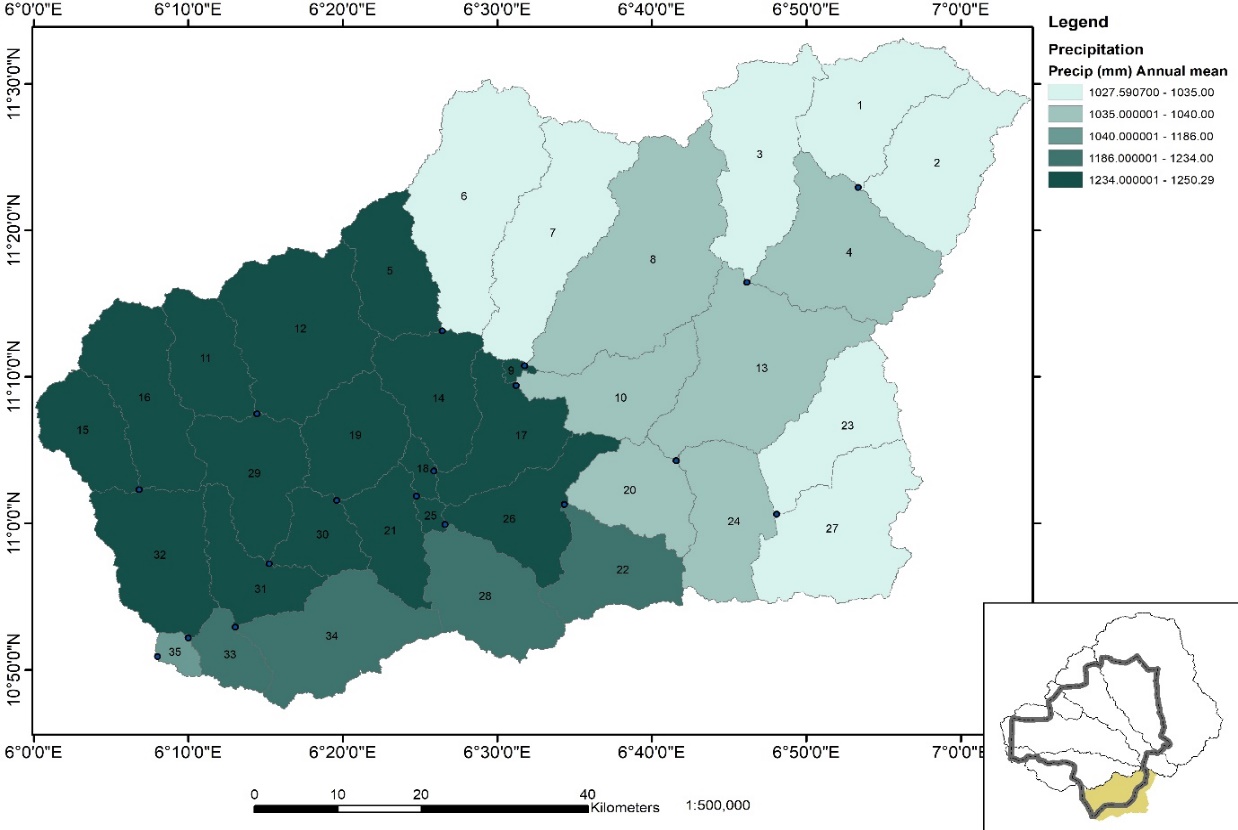
Assessing groundwater recharge is essential for managing water resources sustainably, especially in semi-arid regions. In order to assess groundwater reserves for residential and agricultural use, this study examines the spatial and temporal distribution of recharge in the Kabago watershed in Southern Zamfara State, Nigeria. The watershed, which is roughly 5.97 km² in size and is composed of migmatite, gneiss, schist, and granitic rocks, has a Sudan savannah climate with high evapotranspiration and little annual rainfall (1164 mm). Hydrological processes during a 21-year period (1990–2010) were simulated using the Soil and Water Assessment Tool (SWAT 2012) linked with ArcGIS. SUFI-2 in SWAT-CUP was used for calibration and validation utilizing streamflow data from the Maru gauging station. With NSE values of 0.85 and 0.75, R2 values of 0.85 and 0.75, PBIAS of 2.5% and –1.3%, and RSR values of 0.43 and 0.52 for calibration and validation, respectively, the model performed satisfactorily. Soil water capacity, groundwater delay, baseflow coefficient, and surface runoff factors were among the sensitive characteristics. The results indicated that model-derived potential recharge values, which represent roughly 49% of annual precipitation, ranged from 379.93 to 678.88 mm/year with an average of 545.69 mm/year. Runoff and evapotranspiration were responsible for 15.35% (178.65 mm/year) and 33.24% (386.93 mm/year) of the water loss, respectively. Recharge variability was largely influenced by rainfall distribution, soil type, slope, and land use, with agricultural land promoting infiltration. Overall, the Kabago watershed functions as a significant recharge zone, though high evapotranspiration highlights vulnerability to land use and climate change. These findings provide a sound basis for groundwater management and policy in Zamfara and comparable semi-arid regions.
Published
How to Cite
Issue
Section
Copyright (c) 2026 A. M. Shuaibu, K. O. Musa, K. A. Murana, Mutari Lawal

This work is licensed under a Creative Commons Attribution 4.0 International License.